California's Groundwater Live
Current Groundwater Conditions
Groundwater is a vital resource in California. It sustains our ecosystems, supports our agriculture, fuels our economy, quenches our thirst, and reduces the impacts of drought and our changing climate. Groundwater accounts for 40 percent of the State's total annual water supply in normal years and almost 60 percent in drought years. This is why the California Department of Water Resources (DWR) is committed to protecting this precious resource and has developed California's Groundwater Live in conjunction with the public release of California’s Groundwater Update 2020. We welcome you to explore our newest groundwater tool which features the latest groundwater information, live statistics and a series of interactive dashboards that can be accessed by clicking the icons below.
California Water Watch

Are you looking for water conditions near you? California Water Watch offers the most current local and statewide water conditions down to your region and even your neighborhood. Search for up-to-date information on Precipitation, Snowpack, Reservoirs, Groundwater, Streamflow, and more. This information is updated dynamically from a variety of data sources. Everyone is welcome to research, learn, and stay informed about California's most precious resource -- water.
Disclaimer: This webpage includes a series of groundwater data summaries and interactive dashboards based on publicly available information that are designed for informational purposes only. These resources are not intended for regulatory purposes as part of the Sustainable Groundwater Management Act. The Department of Water Resources makes no warranties, representations or guarantees, either expressed or implied, as to the accuracy, completeness, correctness, or timeliness of the information that is accessible through California’s Groundwater Live, nor accepts or assumes any liability arising from use of California’s Groundwater Live or underlying data.
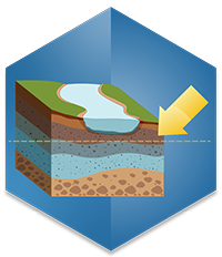
Current Groundwater Level Information
This section includes the latest groundwater level information from throughout California. Information for groundwater levels is based on DWR's groundwater level database, which includes all groundwater level measurements collected for the Sustainable Groundwater Management Act (SGMA) and the California Statewide Groundwater Elevation Monitoring (CASGEM) programs. Click on the links below to explore the four interactive and user-friendly dashboards, that detail California’s current groundwater level information.

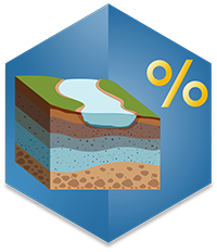
Current Well Infrastructure Information
This section includes the latest information on the well infrastructure in California. Information for domestic and irrigation wells are based on DWR’s Online System for Well Completion Reports (OSWCR) and information for public supply wells is based on data from the State Water Resource Control’s Division of Drinking Water. Click on the links below to explore the five interactive and user-friendly dashboards, that detail California's well infrastructure.
Wells
Wells
Wells
Wells
Current Land Subsidence Information
This section includes the latest information on land subsidence in California based on DWR’s Interferometric Synthetic Aperture Radar (InSAR) remote sensing and continuous global positioning system (CGPS) station datasets. Click on the links below to explore two interactive and user-friendly dashboards and find out where land subsidence is currently occurring and how it has changed over time in California.
